Biography
S. Wright Kennedy is a doctoral candidate in the History Department at Rice University. His primary area of interest is the integration of spatial perspectives into the study of nineteenth- century U.S. health and economics history. While earning his master's degree in geography from California State University, Long Beach, he specialized in geographic information sciences and spatial analysis. His master's thesis used historical geographic information systems (HGIS) to uncover the spatial origins and spreading patterns of the 1878 yellow fever epidemic in Memphis, Tennessee. From 2012 to 2015 he served as the project manager for the imagineRio project (www.imagineRio.org) at Rice University.
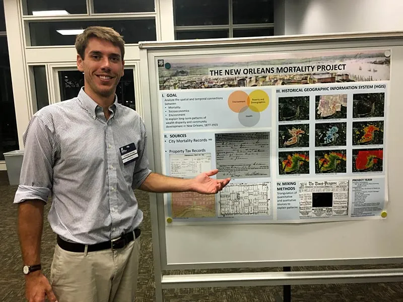
Currently he is the principal investigator on the New Orleans Mortality Project (www.nola.spatialhistory.org), a component of his dissertation. This research project employs HGIS to identify and analyze the spatial and temporal patterns of disease and socioeconomics at the individual, neighborhood, and community levels to understand how health, environment, and socioeconomics impact urban and community development in New Orleans during the Gilded Age (1877-1915).
Research
Thirteen years have passed since Hurricane Katrina devastated New Orleans and gave the world a glimpse of the gross injustices under the surface of the Crescent City's easy-going facade. Katrina thrust issues of environmental justice, socioeconomic stratification, and racial segregation into the national spotlight, yet these debilitating socioeconomic inequities have been simmering and compounding since the nineteenth century. The neighborhoods with the highest loss of life and the worst flooding during Katrina were the same neighborhoods that had the highest mortality penalties and the most vulnerable populations at the end of the nineteenth century. We cannot understand the urban development of the America without understanding the social and economic conditions that molded cities, neighborhoods, and people. Disease and mortality were central to this process.
This project investigates spatial and temporal patterns of mortality in New Orleans during the Gilded Age (1877-1915). The conceptual and empirical focus is disease landscapes, which play a key role in the social and economic development of urban areas and constituent neighborhoods. This study asks two basic questions: How did the New Orleans mortality terrain evolve spatially and temporally during the key historical period under investigation? And what effects did the variations in mortality terrain have on the social and economic development of neighborhoods and communities within the city? To answer these questions, this project employs transdisciplinary methods of spatial analysis to analyze individual-level mortality data from New Orleans to uncover the spatiality of the mortality transitions and the effects of uneven transitions; an approach that is only recently possible due to advances in information management technology, in particular the development of geographic information systems (GIS). The results reveal the processes of the mortality transition, the evolution of the urban disease terrain, and the social and economic consequences of these patterns.